Download This Route »
Note: You will be asked to log in or register with RoadTrooper.com to gain access to downloadable .KML (Google Earth), .GDB (Garmin), .GPX (Generic) files.
Wicklow Mountains Route 1
(Roads can be impassable in winter)
Starting from Killmacanogue just off the N11 take the R755 up into the Wicklow mountains towards Roundwood/Glendalough, taking the R758, next right after Djouce golf club will bring you up to Lough Tay, otherwise known as the Guinness Lake.
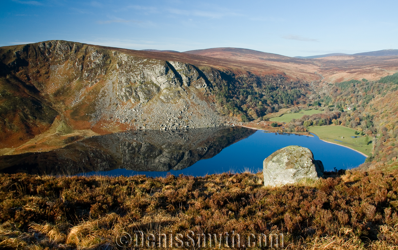
Lough Tay
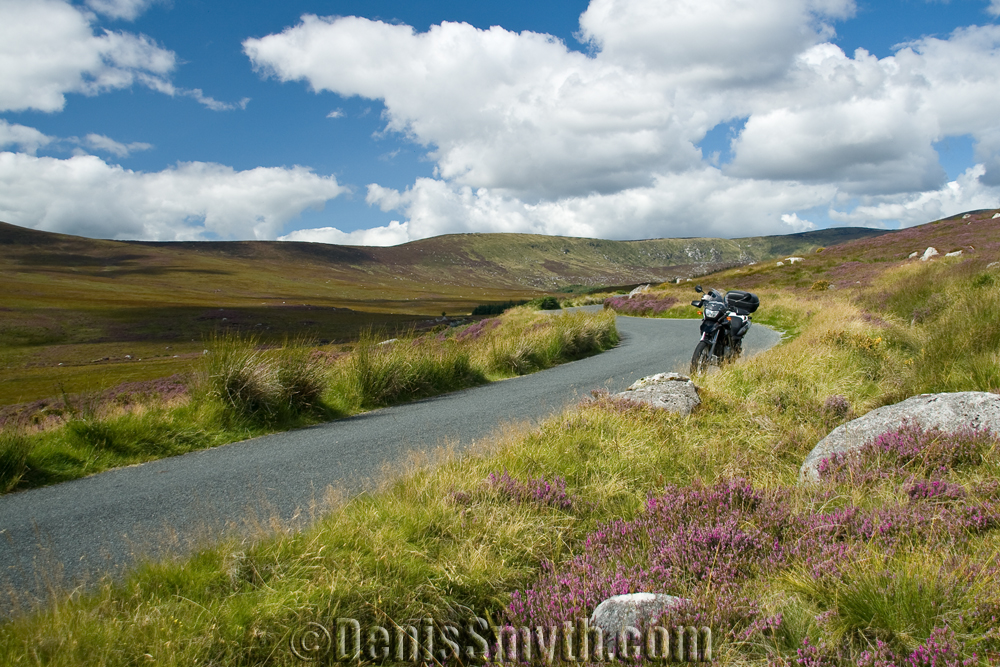
Route 1
On a good day the views here are spectacular, but you wont be breaking any speed limits here as the road is, shall we say “full of character” ![]() . You will also want to watch out for wandering sheep, deer, coaches in the summer and the odd twat in a Range Rover.
. You will also want to watch out for wandering sheep, deer, coaches in the summer and the odd twat in a Range Rover.
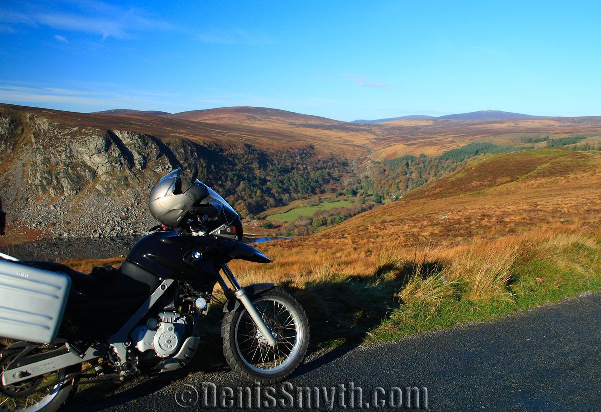
Lough Tay
Following this road towards Sally Gap take a left at the cross roads towards Laragh where the road becomes more rutted but passable even on a sports bike as long as you keep it under 50/60KMPH, while the road is mostly shit the mountain views are again pure magic making this road very popular for local bikers.
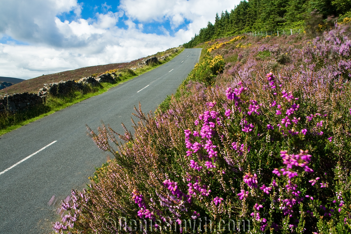
Road along Lough Tay
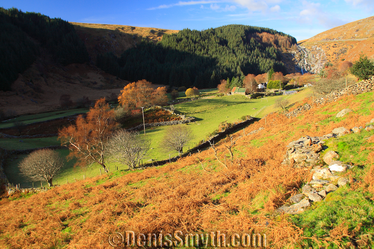
Glenmacnass Valley & Waterfall
Getting closer to Laragh you will pass Glenmacnass Waterfall and well worth stopping to take in the view before dropping down into Laragh, a small village with a good pub/hotel and a couple of coffee shops and a petrol station.
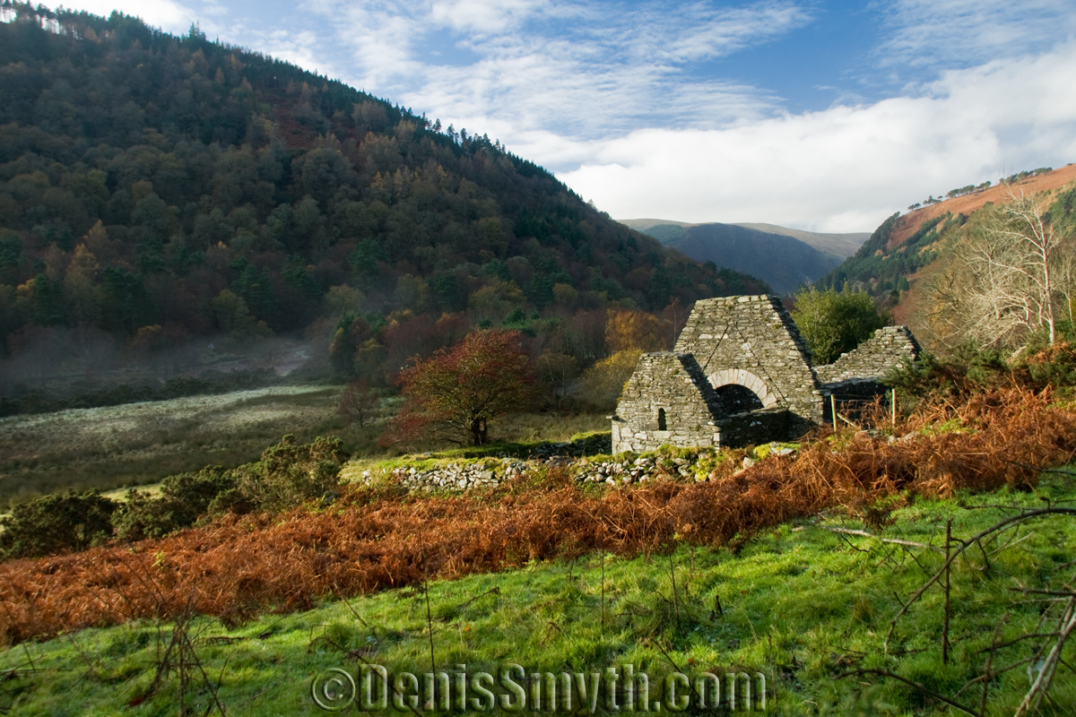
Trinity Church, Glendalough
Just down the road is the world-famous monastic site of Glendalough founded by St. Kevin. If you have the time its more than worth a visit, on a good day the upper lake is really stunning. The car park is paid, but you can easily park up your bike along the road as long as its well in.
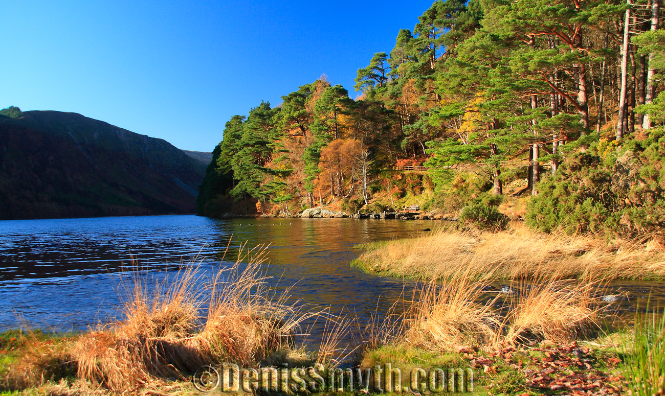
The Upper Lake, Glendalough
All these photographs and more, which are GeoTagged can be found on my Flickr Photostream
Next Wicklow Mountains Route 2 – Wicklow Gap, Blessington Lakes and Sally Gap »
