Stage 4 – Lanslebourg/Val Cenis to Briancon
Distance – 110km
Cols – Col du Telegraphe, Col du Galibier
Additional Route – Including Col du Lautaret, Col de Sarenne, Croix de Fer, Col du Glandon (300km)
Download This Route »
Note: You will be asked to log in or register with RoadTrooper.com to gain access to downloadable .KML (Google Earth), .GDB (Garmin), .GPX (Generic) files.
First, the Col du Telegraphe, a 12 kilometres pleasant ride that winds it way up through the woods before a 5km descent into the ski resort of Valloire, then its a straight shot (8kms) up through the valley with high Alps looming down on either side. At Plan Lachat the road then goes up over the mountains at Col du Galibier.
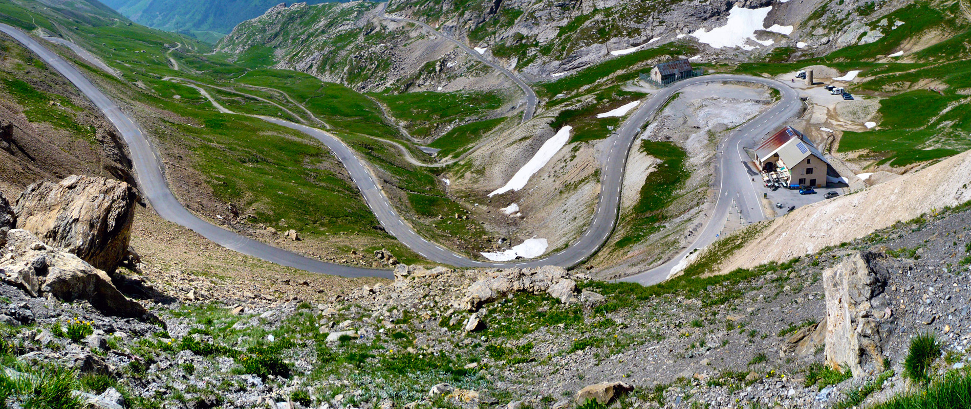
More curves than a porn queen – Col du Galibier
The Col du Galibier is at 2645m, the 4th highest mountain pass in France links the towns of Saint-Michel-de-Maurienne and Briançon via the col du Télégraphe and the Col du Lautaret. From the top, the route descends down towards Col du Lautaret, dropping 585m over 8.5km.
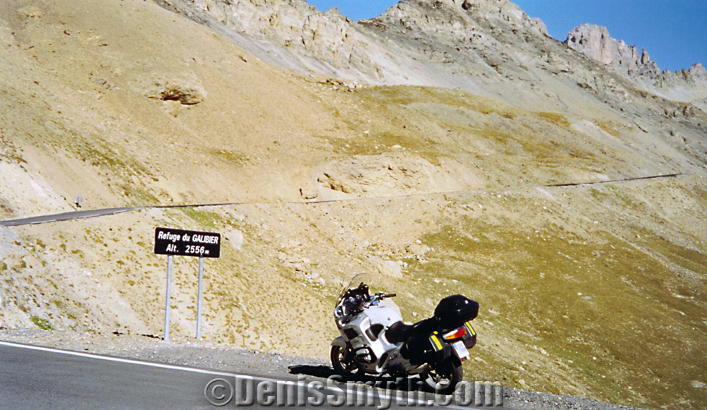
My beloved RT on the Galibier Pass
What can I say here, this stage starts as another good ride that turns into an epic climb through good twistys to stunning views on the summit of Col du Galibier then a good smooth run down through a glacier valley into the ancient roman town of Briancon.
Briancon is has some UNESCO listed buildings with an interesting fort, the old town is worth a look if that’s your thing but to be honest you’d be better off getting here about lunch time, finding a hotel, dumping your gear and exploring some of the biketastic roads around this town before starting stage 5. The Ibis hotel is conveniently located in the characterless new part of town, clean, cheap, good buffet breakfast, shit bar and walking distance to plenty of good restaurants. For a bit more Alpine character I’d recommend Auberge l’Arpelin 12km out-of-town on the D902 as this would will be your last chance to experience real alpine food, lifestyle etc as in the next stage you’ll enter the Cote D’Azur region where the buildings, colours and lifestyle will change markedly from Barcelonette south.
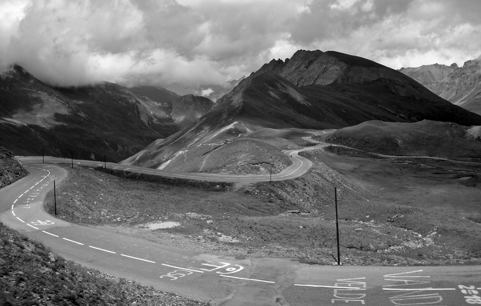
Col du Galibier is a seriously enjoyable run
I usually stay 2 nights in Briancon as from here you have a few route options depending on how much time you have to spare.
Option 1 – (40mins trip – 20km) From Briancon take a short run to Montgenevre, excellent road surface, good set of twisty’s. You can always make this a day trip up to Lac Cenis from here.
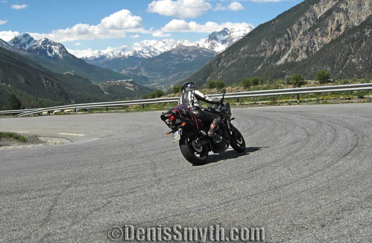
N94 from Montgenevre to Briancon
Option 2 – (Full day trip – 240km) From Braincon head back on D1091 through Col Lautaret, take D25 at Lac du Chambon through Col de Sarenne (2000m) with an incredible 21 corner set of arse clenching technical twisty’s that will leave you a sweaty grinning wreak, or dead if you’re not careful, best to leave your panniers etc in Briancon to really enjoy this! I met a lad who said his front break disk warped on this stretch, and I believe him ![]()

It’s Col de Sarenne for a twisty overload!
The Col de Sarenne is a narrow undulating road that continues on past the Alpe d’Huez ski resort and tops out 9 km further on at 2000 metres. It is a beautiful road that, although it is close to civilization, feels really quite remote, partly due to the fact that parts of the road are a little rough.
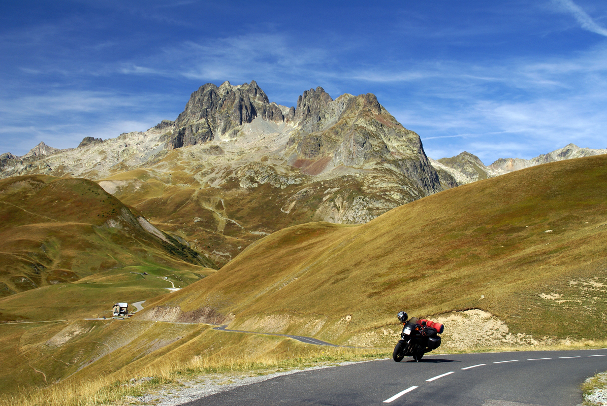
Col de la Croix de Fer
Then it’s another climb up to Croix de Fer and Col du Glandon via the D526 where you can swing back around to Briancon again via Col du Galiber.
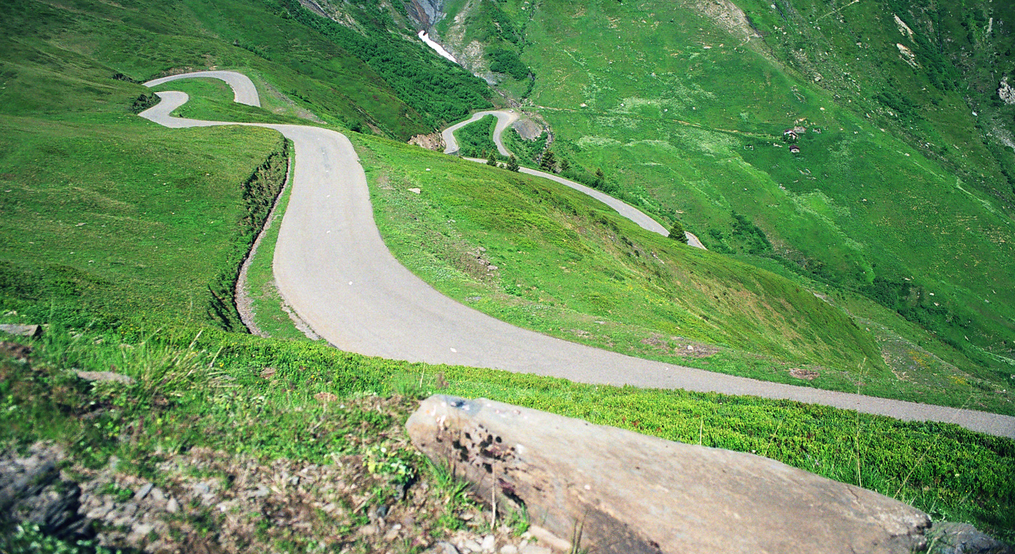
Col du Glandon
This really is a fantastic route with a unforgettable mix of hard technical riding and fast sweeping high alpine roads with incredible views throughout. It’s a good 140km run that will leave you with a stupid imbecilic smile and gagging for a few beers. You could incorporate this into the Stage 4 run from Lanslebourg, but it will then add up to at least a 300+km run which is a hell of a long way on these roads, especially if your loaded down with luggage/pillion passenger. You could also consider staying over night in Valloire, a good-sized ski town between Telegraphe and Col du Galibier with a number of hotels.
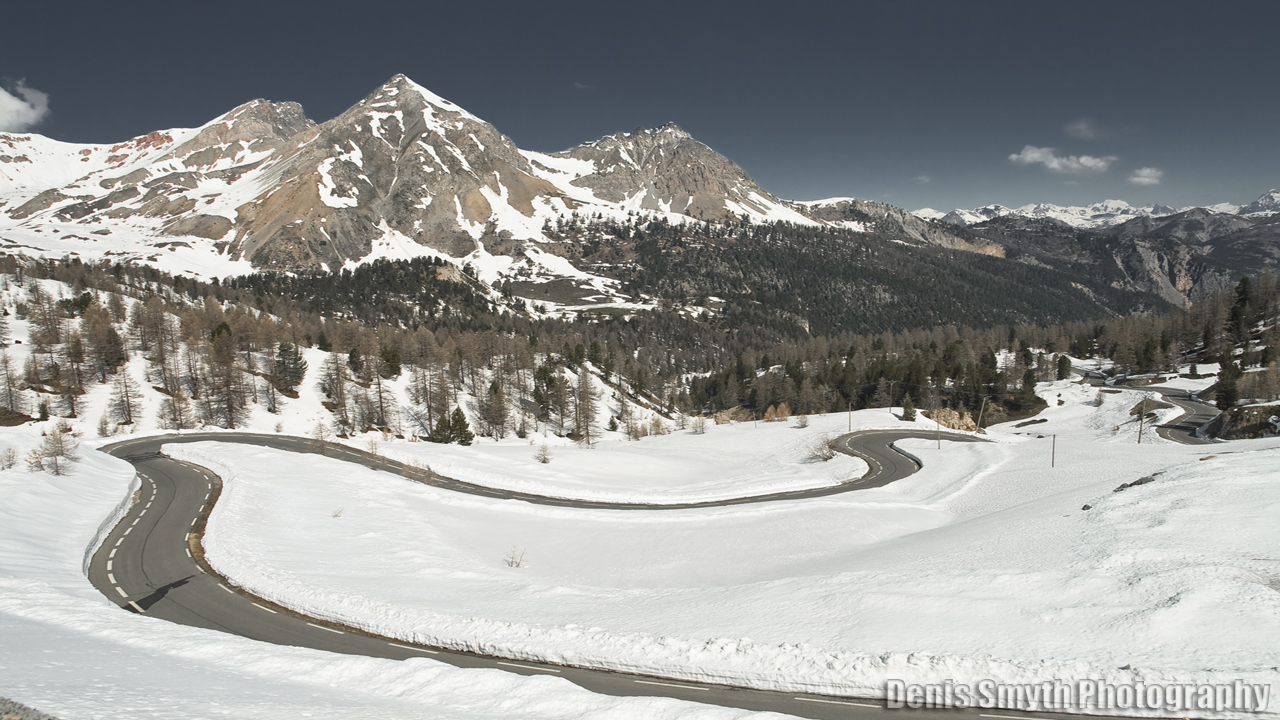
Col d’Izoard view north towards Briancon
Option 3 – From Briancon head up Col de l’Izoard on D902, on the other side at 1st T-junction go left on D947 to Château-Ville-Vieill with its big ass castle, cross the river on the next bridge to the D5 through Molines en Queyras with its ancient and striking church and well worth a closer look.
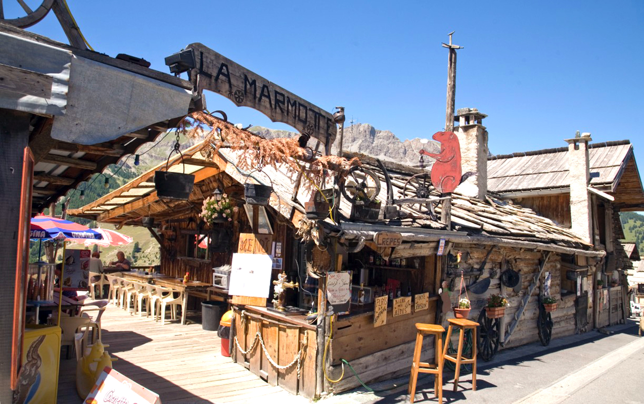
Restaurant Marmot Saint-Veran (dont order the Marmot, see stage 3)
Then on up to the magically beautiful old stone alpine village of Saint Veran, this is a really cool village and well worth a look around. Up from Veran the road gives access to Col Agnel (Italian – Colle dell’Agnello), the third highest paved road in the Alps, after the Stelvio Pass and Col de l’Iseran.
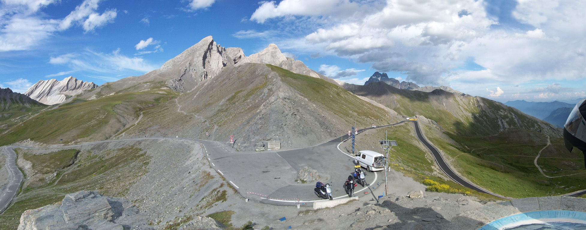
Col de Agnel, France on left, Italy on right
At 2744m it’s worth putting on your list of things to do, as it’s not well-known its quiet and with the landscape you can really feel like your on another planet. At the summit is another ridiculously beautiful view now becoming just part of the course, it’s also the border into Italy.
Video
Route Instructions
- Start: Lanslebourg
- Exit town to the west on D1006
- At Saint-Michel-de-Maurienne cross the river onto D902
- At Monêtier les Bains (Col du Lautaret) go left on D1091
- Follow D1091 to Briancon
Download This Route »
Note: You will be asked to log in or register with RoadTrooper.com to gain access to downloadable .KML (Google Earth), .GDB (Garmin), .GPX (Generic) files.
Biker friendly hotels along Stage 3 of the route:
Christiania Hotel – Valloire
Hotel les Melezes – Valloire
Ibis Briancon – Briancon
Auberge l’Arpelin – Cervieres
Road conditions – check the status of the Cols/Passes:
InfoTrafic: Alpes Du Nord
Bison Fute
Next Stage 5 – Briancon to Barcelonette »
