Stage 6 – Barcelonnette to Castellane
Distance – 182km
Cols/Gorges – Col de la Bonette (el. 2715 m./8907 ft.), Gorges de Valabres, Gorge du Daluis,
Additional Routes – Grand Canyon du Verdon (Marked Yellow on Map)
Download This Route »
Note: You will be asked to log in or register with RoadTrooper.com to gain access to downloadable .KML (Google Earth), .GDB (Garmin), .GPX (Generic) files.
Detailed information about Valberg »
Hotels in Valberg & area Hotels »
Detailed information about Castellane »
Route Des Grande Aples photo gallery »
Firstly, this “Stage 6″ is my own personal addition and not on the official Route Grande Alpes, it’s a 182km deviation off route! But if you’re in the area and you have the time you’d be biscuit barking mad not to do a loop round Grand Canyon du Verdon as it’s a mind bending enjoyable ride. The insanely vibrant turquoise-green Verdon river over millenia has, completely unprovoked I might add, cut a 25km long gaping limestone wound on our planet a vertigo inducing 700 meters deep! Look it up, there’s plenty of info on it on the interweb, it will be a thrilling addition to your trip you’ll never forget, well worth the effort and extra mileage. If not then just skip to the last stage.
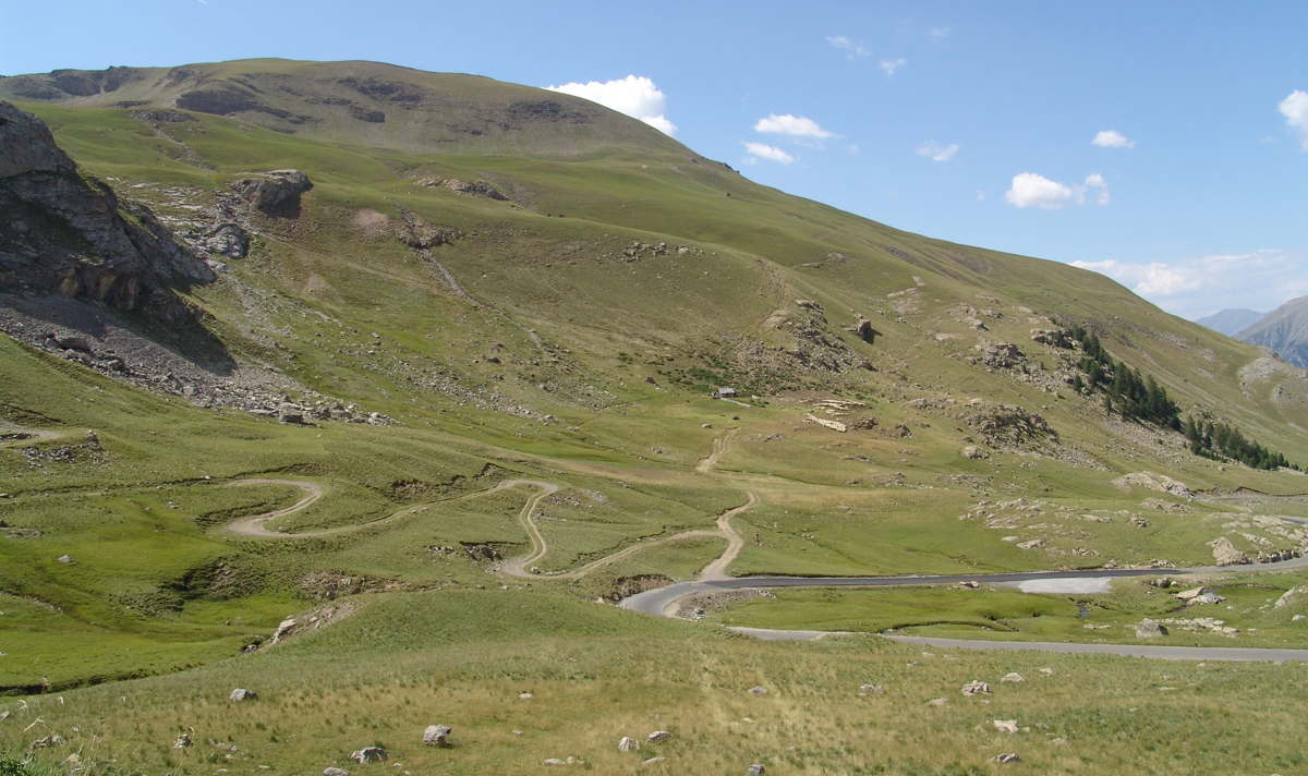
Col de la Bonette
Leaving Barcelonnette on the D900 head towards Jausiers, go through Jausiers and cross the bridge over the river and follow the road/signs for Cime de la Bonette-Restefond (Still the D900).
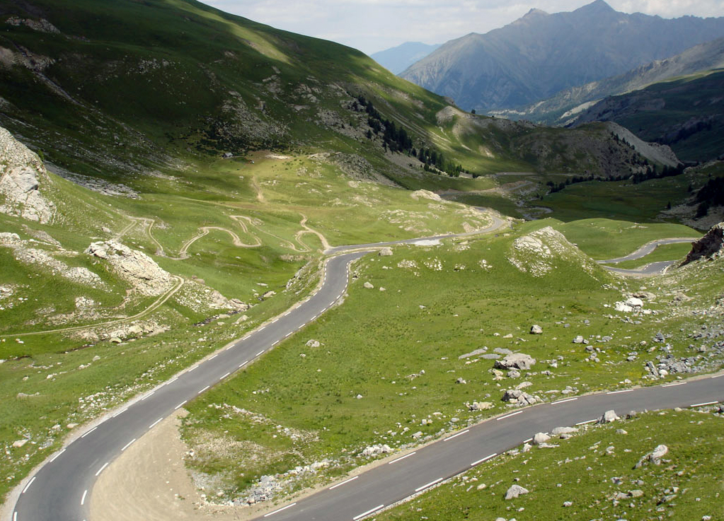
Col de la Bonette
Be sure you top up on fuel before you leave Barcelonnette, you will have few opportunities along this stage.
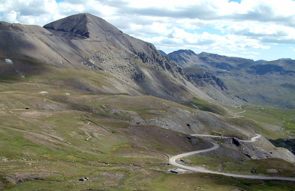
Looking at the summit of La Bonnette
For those not knowing Col de la Bonette it’s a hotly debated issue in France, more so then the benefits of garlic soup in winter, due to a mass of cheesy confusion over whether it’s the highest pass in the Alps, or the highest paved road in France, or in Europe!
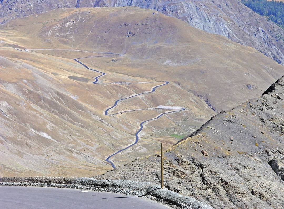
Nearing the summit looking back on Col de la Bonette
There’s even confusion over the name with Tour de France, map companies and even the French themselves calling it different names like Col de la Bonette, Col de Restefond, Cime de la Bonette-Restefond and La Bonette. There is even confusion as to it’s hight!!!
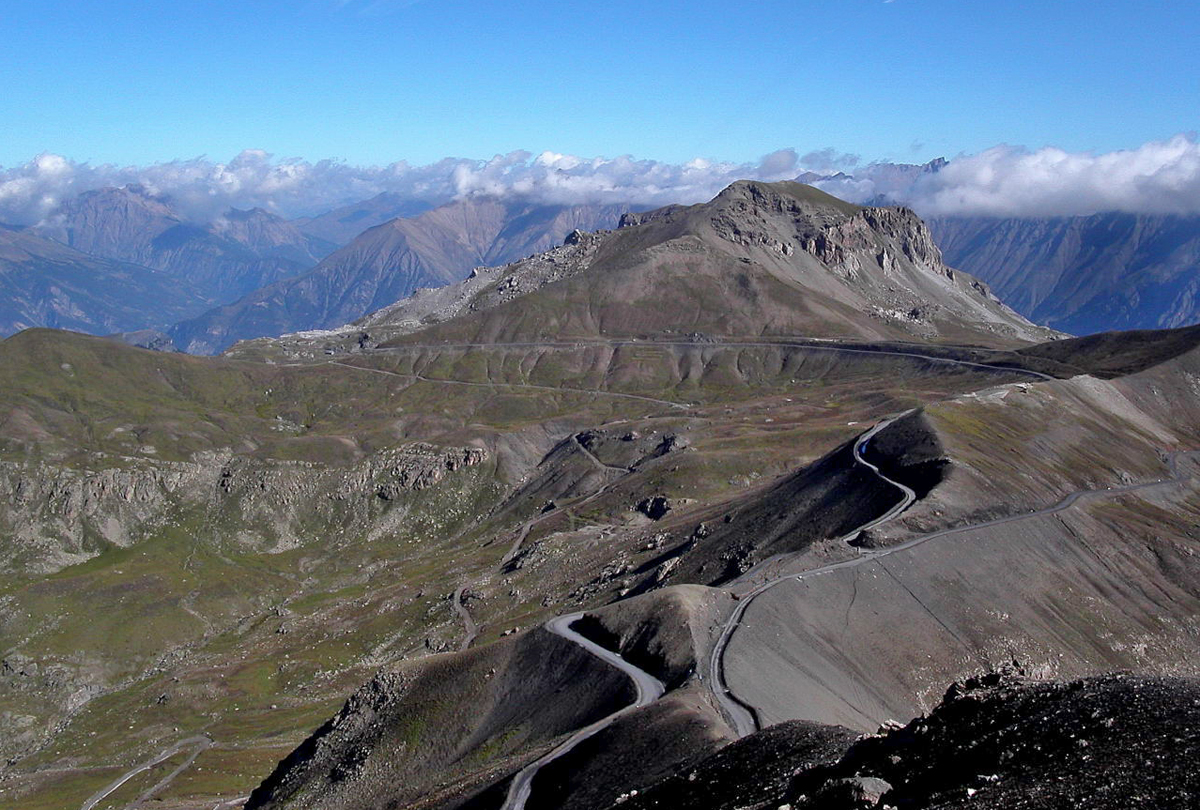
Summit of La Bonnette
Arse biscuits!! Basically the actual Col de la Bonette rises to 2715 m, a bit lower than Col de l’Iseran at 2770 m, so the local Frenchies decided, after a heated debate over the benefits of garlic soup, and for no other reason then to piss off their Iserian buddies, to build a road up around the summit of Bonette mountain to which the road now reaches 2802 meters, it’s not a pass, but the road it is higher than Iseran.
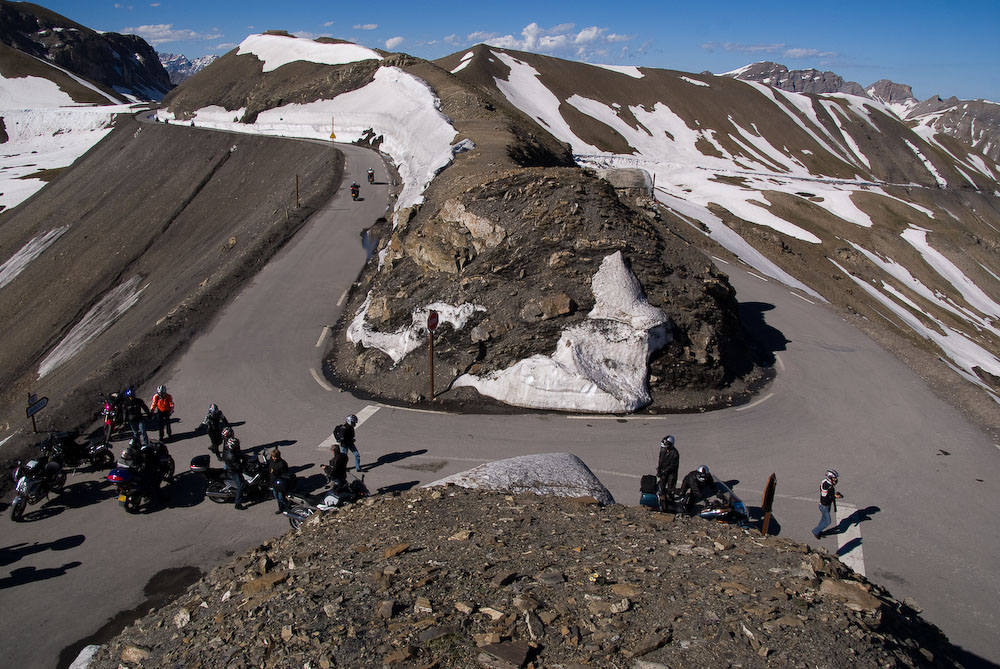
Summit of La Bonnette
This brilliant example of the very human “I’ve got a bigger knob then you” attitude to one’s neighbours has given us biker’s an excellent excuse to ride up this gallic ego extension just to be able to tell our mates when we get home “I rode my bike, which is faster than yours, up the highest road in Europe, so screw you buddy!”.
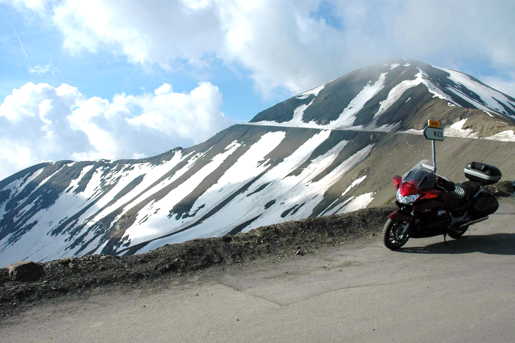
Heading south from Col de la Bonette
Either way its magic, a great road with stunning scenery and a brilliant way to start your day before it swings down and around to the ski resort of Valberg, which like all the ski resorts in summer, just looks weird and purposeless without snow. It’s possible to stay here, but I don’t know why you would want to, better to push on over to Guillaumes which is a proper village . From Valberg the landscape changes completely, it also get markedly warmer. There is a back road to Guillaumes from Vallberg (see .GPX .KML file) which goes by the cool little perched village of Péone.
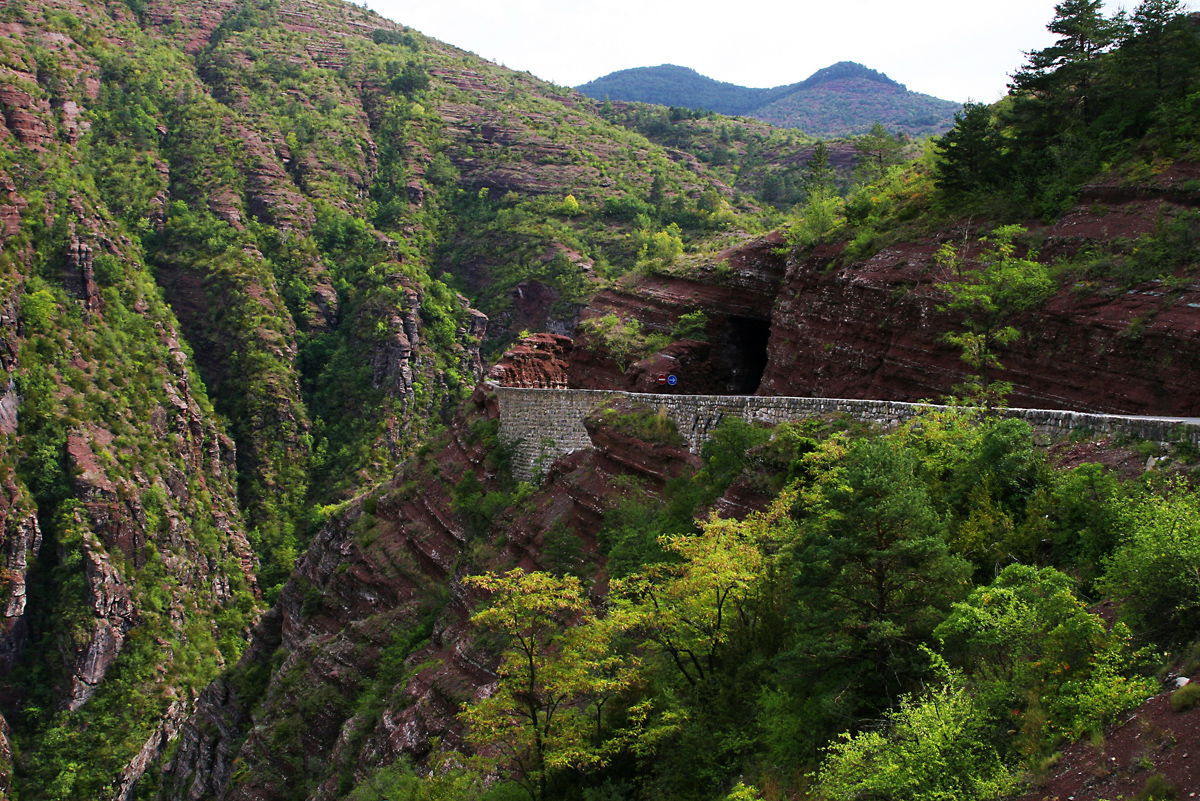
Gorges de Daluis
Next on this route is Gorge du Daluis, take the D2202 heading south from Guillaumes, cut by the Var river through striking red rock, this will give you an indication as to what to expect at Verdon. This road literally cut into the side of the gorge gives some stunning views, but you need to watch out for ambling tourist cager traffic from the coast who’s drivers are paying far more attention to the gorge views then the road.
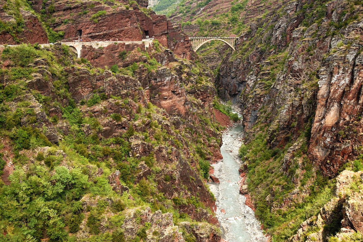
Bridge over Gorge du Daluis
About half way down there is a bridge spanning the gorge where you can do a bungee jump, of course that’s only if Terry the Tit hasn’t yet impaled you on the bonnet of his piece of crap Hybrid.
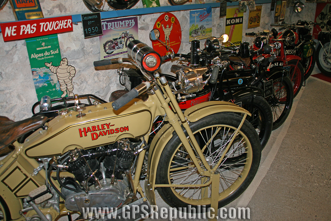
Entreveaux Moto Museum
At the bottom of the gorge the N202 heading right will bring you to Castellane. If you fancy it you can take a quick detour before going to Castellane, at the bottom of the gorge go left on D4202 which will bring into a really interesting fortified town called Entreveaux where you can grab lunch and easily spend an hour walking around the town. Founded in the 11th century the fortifications were built to protect the villagers from Saracen invaders, if you like your history this place is fascinating, and if not it’s still worth a look as it has a magic little motorbike museum in one of the side streets.
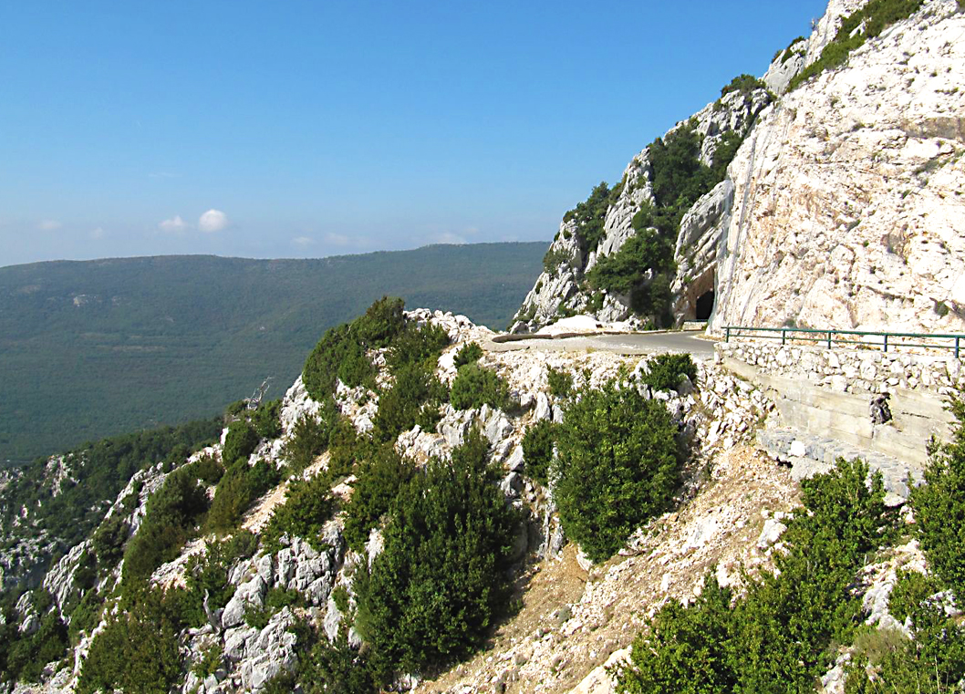
Route du Verdon
Castellane also has a long history and is built on the site of a Roman fort and the ancient Roman town of Petra Castellana, and before that it was an ancient Celto-Ligurian village of the Suetrii tribe and the last big town on Route Napoléon before Grasse. If you intend to stay here during the summer months you will definitely need to book in advance as it’s a busy spot with plenty to do, it’s also possible to take a kayaking tour on the Verdon, undoubtedly the best way to see Grand Canyon du Verdon. There’s a couple of hotels and 17 campsite’s in the area, but if you’re not into camping you will need to book beforehand.
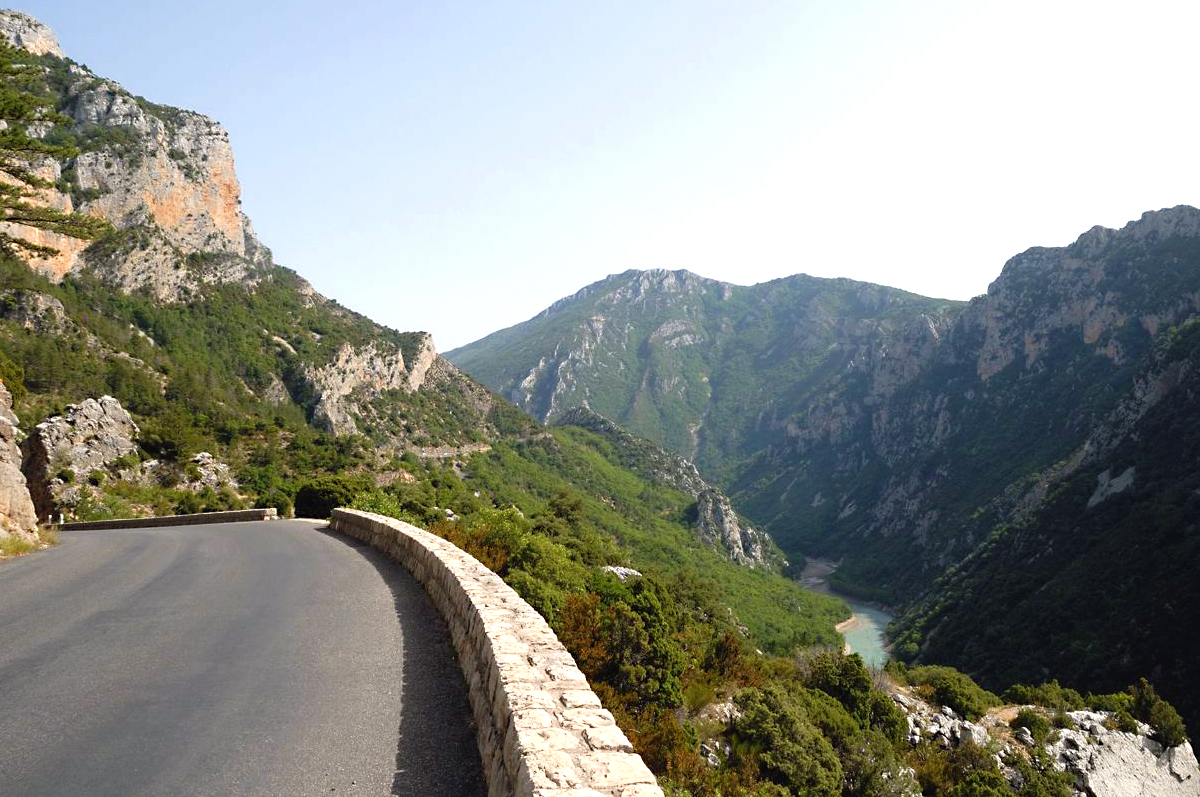
Gorges du Verdon
Of course, the only real reason for coming here is for the ride around the canyon, this is a spectacular 160km stretch that proves without doubt that God, Allah and Buddha are all devout bikers!
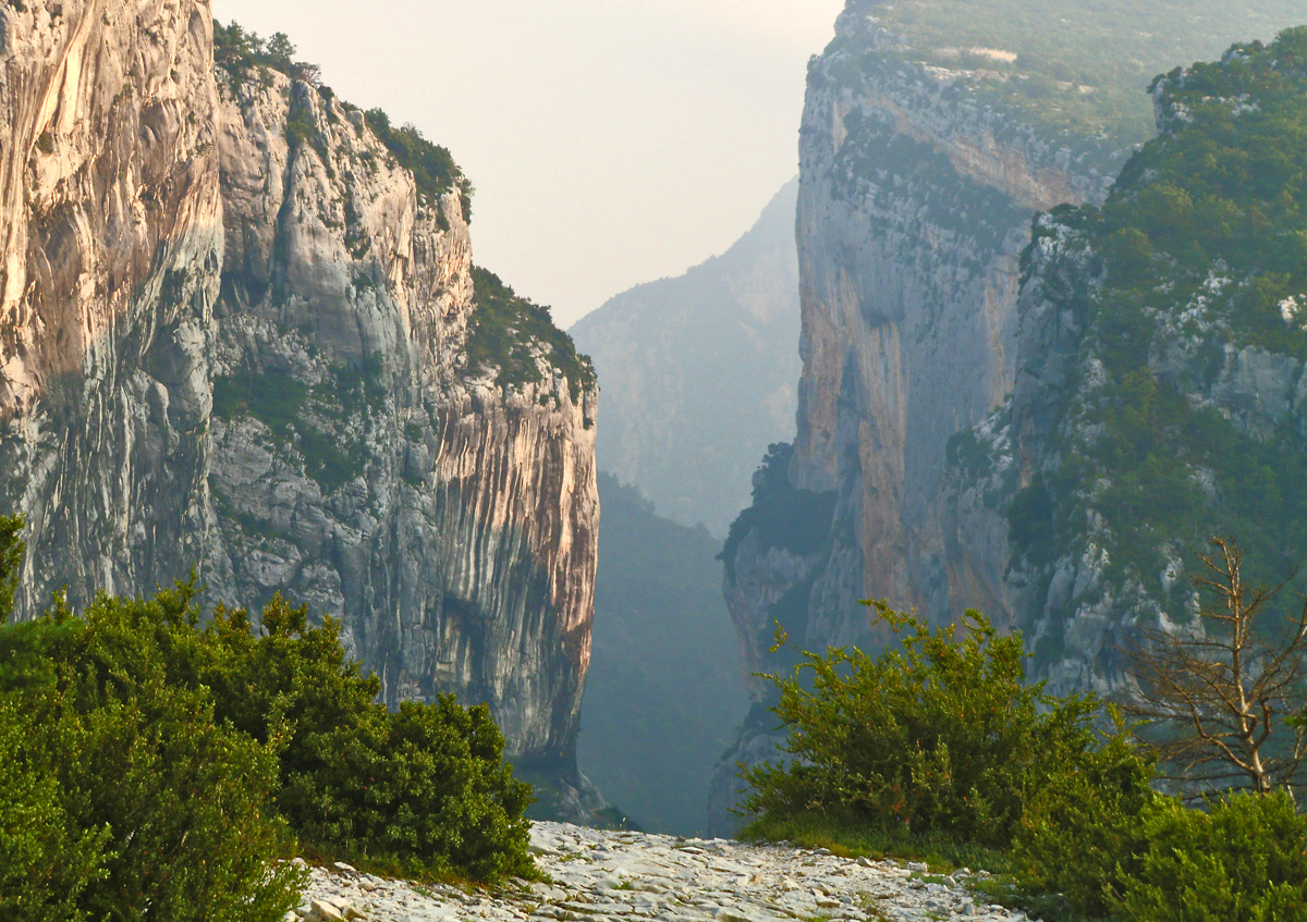
Epic views and road along Grand Canyon du Verdon
Simply put, there is no way I can describe this route and do it justice!!! When I lived near Nice I’d ride up here at least twice a month, and unfortunately before I had a good camera.
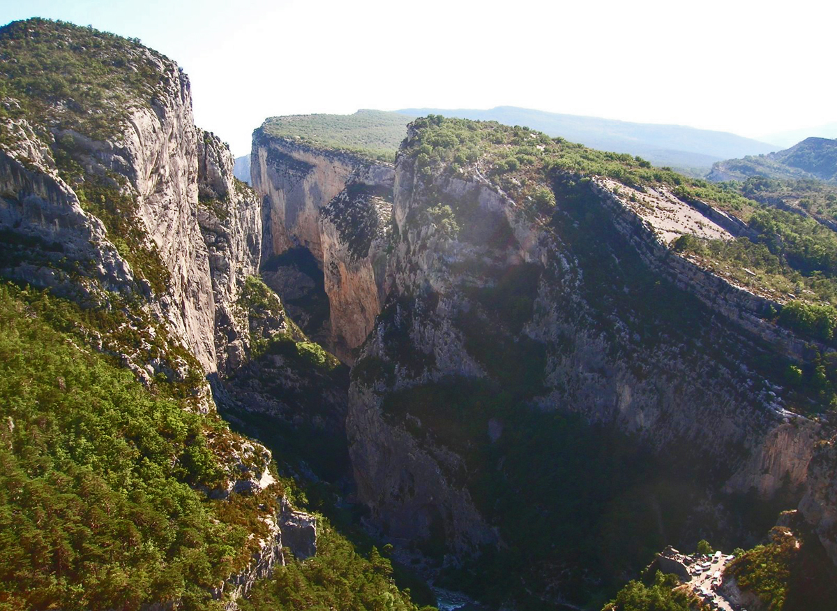
Gorge du Verdon - Point Sublime
I’m hoping to get back up here next Sept/Oct to spend a couple of days photographing this area properly, the best place to see the canyon is a little spot called “Point Sublime” near the start of the Verdon route, it will blow you away!!!
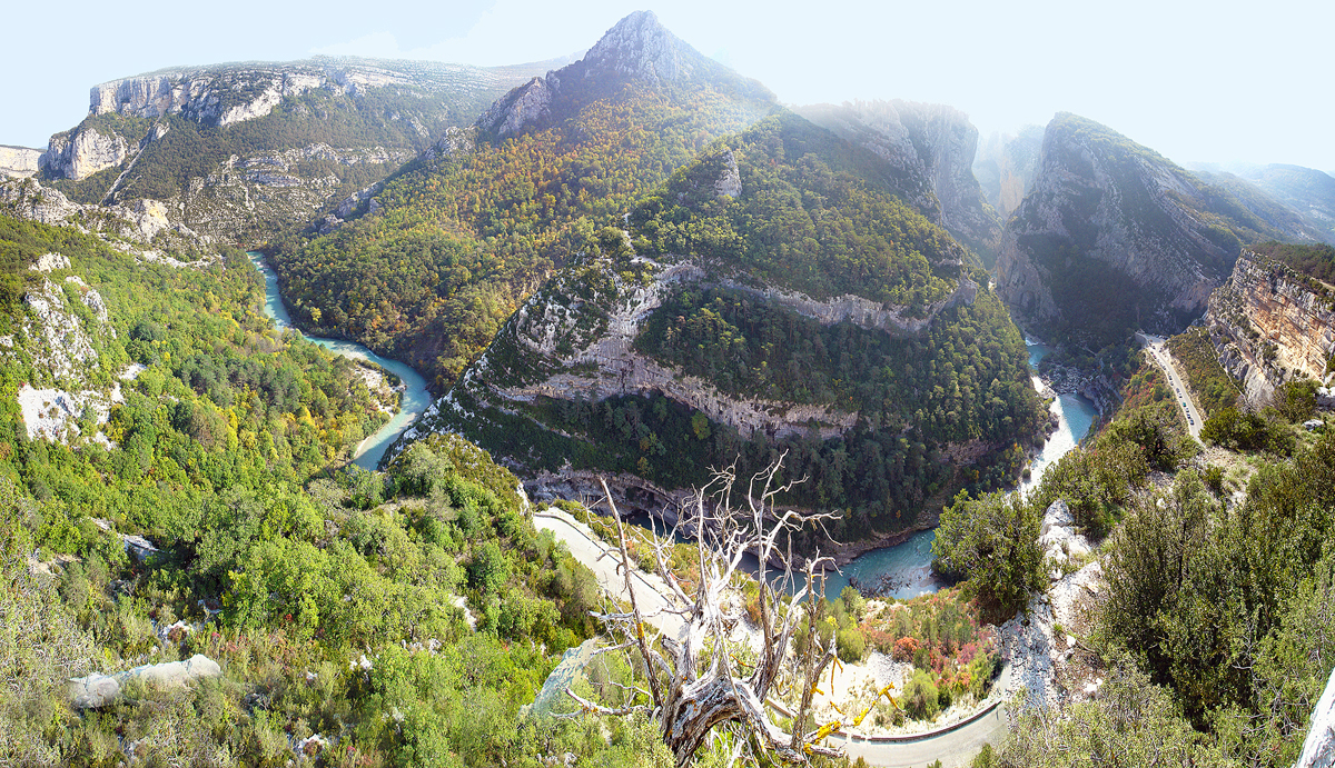
Gorge du Verdon - Worth the detour!
All I can say is that this road has it all and you wont want to leave, from the spectacular cliff road over the north side of the gorge to the sweeping road through lavender fields west of Lac de Ste Croix and stunning views along the south side of the gorge back to Castellane.
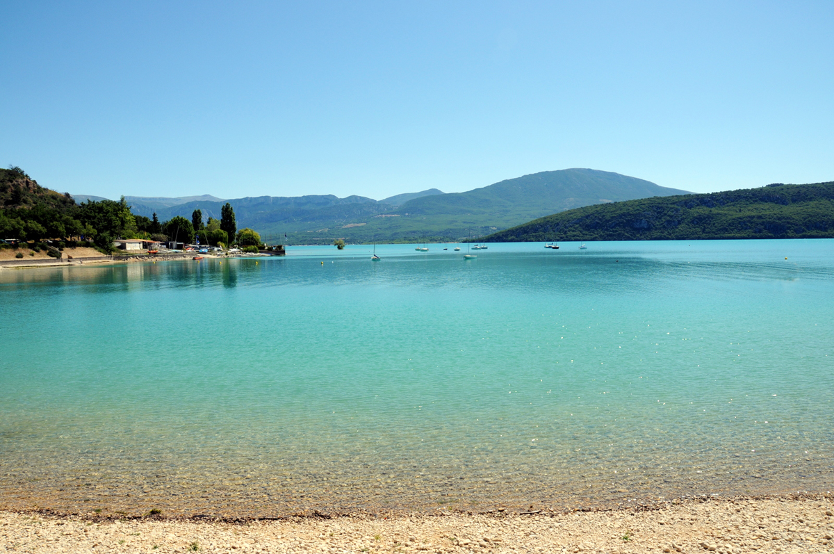
Wash the dust off at Lac de Sainte-Croix!
You really would want a full day for this, to enjoy lunch and a swim at the beach at the village of Sainte Croix du Verdon, sniff around the Provencal villages, hell there is even a Château in Aiguines on the route.
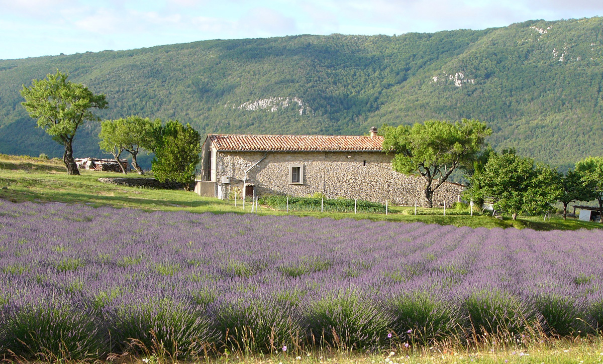
Classic views along the road east of Lac de Sainte-Croix
Route Instructions
Les Chaudrons – Guillaumes
Hôtel l’Adrech de Lagas – Guillaumes
Hotel du Commerce – Castellane
l’Auberge Bon Accueil – Castellane
Dont forget there’s also 17 campsite’s in the area also!
Camping 06 – Alpes-Maritimes
Download This Route »
Note: You will be asked to log in or register with RoadTrooper.com to gain access to downloadable .KML (Google Earth), .GDB (Garmin), .GPX (Generic) files.
Road conditions – check the status of the Cols/Passes:
InfoTrafic: Alpes Du Sud – Apline Pass Status
Bison Fute – Traffic/Road Info
Next Stage 7 – Castellane to St Martin du Vesubie »
