Stage 1 – Thonon-les-Bains to Grand Bornand
Distance – 90km
This stage passes by Morzine, Gets, Taninges, Cluses, Le Grand-Bornand
Cols – Col de Gêts 1163 meters, Col de la Colombière 1613 meters
Cols (Stage 1b) – Col du Ranfolly, Col de Joux Plane
Download This Route »
Note: You will be asked to log in or register with RoadTrooper.com to gain access to downloadable .KML (Google Earth), .GDB (Garmin), .GPX (Generic) files.
Download This Route »
Note: You will be asked to log in or register with RoadTrooper.com to gain access to downloadable .KML (Google Earth), .GDB (Garmin), .GPX (Generic) files.
There are 2 possible routes to take in the is stage, the official route and the extended route used on the Tour de France cycle race which is around 20km longer and takes in Col du Ranfolly, Col de Joux Plane and the very pretty little village of Samoens and carries the designation of a “ville fleurie” distinguishing it as one of the most beautiful towns in France, I’d recommend taking this route i.e.”RoutedeGrandeAlp-Stage 1b” downloadable from the GPX Routes Box alongside(file name: “RoutedeGrandeAlp-Stage1b” format .GDB/.GPX/.KML) or as .KML in Download GPS Routes page.
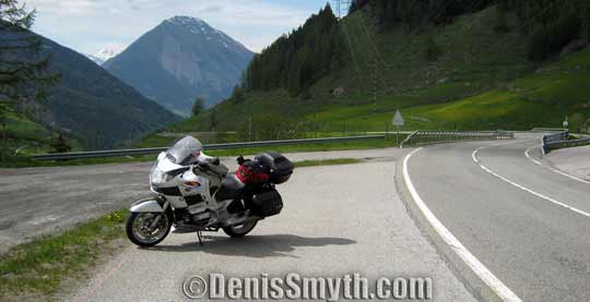
Great views and roads, a good start!
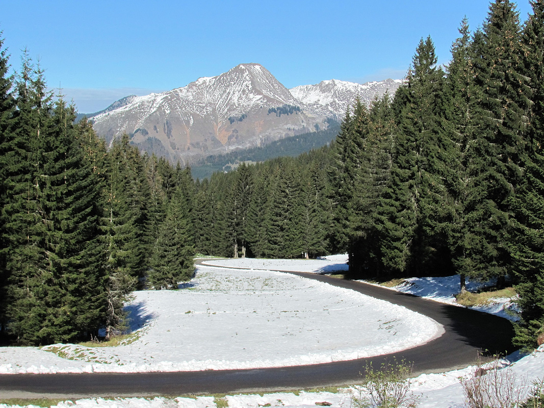
Col de Joux Plane. Even in June there can still be snow!
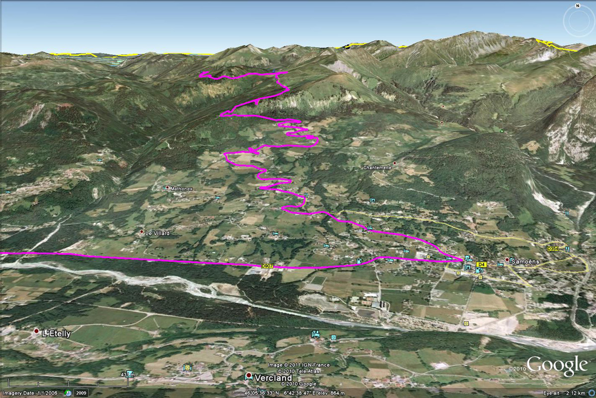
Route down to Samoens
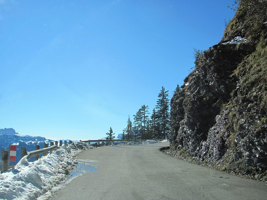
Road D354 to Sameons
Samoëns carries the designation of a “ville fleurie” distinguishing it as one of the most beautiful towns in France. There are no less than nine chapels in and around Samoëns, not counting the many shrines and other cultural buildings visible in a landscape dotted with hamlets. Most of them were built in the 17th century and I’d recommend stopping off to have a walk about.
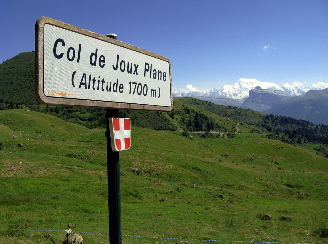
Col de Joux Plane
Both Col du Ranfolly and Col de Joux Plane are a magic ride and after a pretty hairy descent to Samoens, the ride turns to a scenic, fairly flat valley before starting a little climb and long descent towards Cluses and the start of the next big climb to Col de la Colombière. Pay attention around Cluses as the traffic can become heavy.
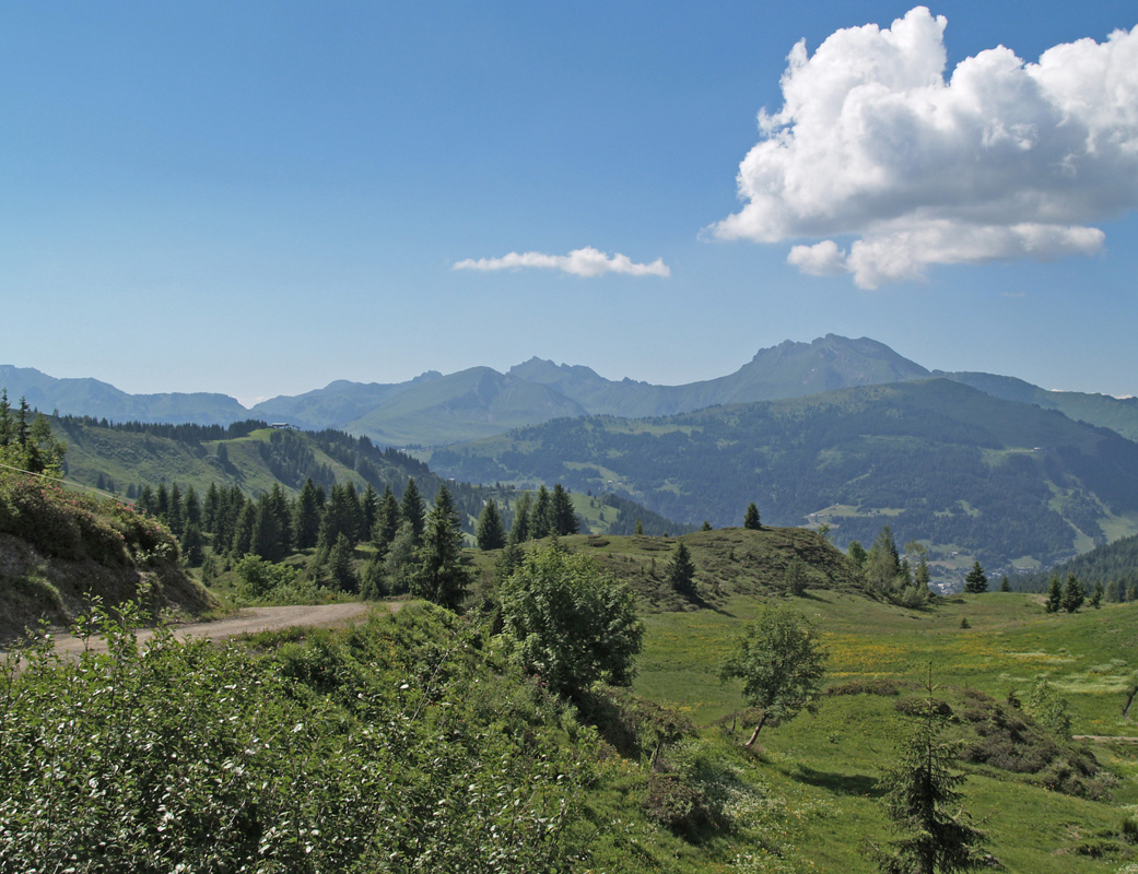
View near Col de Joux Plane
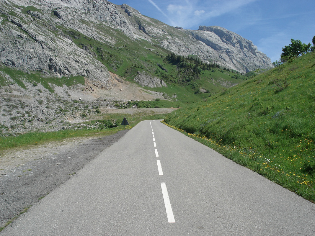
D4 through Col de la Colombière
Leaving Cluses look for the D4 to the Col de la Colombière, the first part of this road is steep and narrow but the road surface is good.
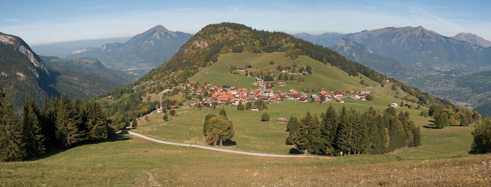
Alpine landscape of Col de la Colombière
Higher up in the Col de la Colombière the scenery is a wonderful Alpine landscape and an absolute pleasure to ride. Except for weekends there is not much traffic except for the squadrons of nutters on push bikes!!!
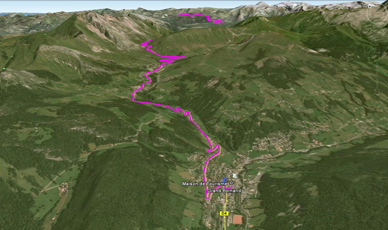
Decent to Grand Borand
Videos
Route Instructions
- Start Thonon-les-Bains to Morzine
- Exit Morzine, follow D354 and signs to Col de Joux Plane
- Stay on D354 and climb and descend Joux Plane into Samoens
- In Samoens: ignore signs to Taninges, cross river towards Morrillon
- Ride past Morillon for several kilometres
- Turn Left at D902 – a small climb – following signs to Cluses
- WARNING: the road will now become busier until exiting Cluses
- At Chatillon long descent into Cluses
- Stay on D902 through Cluses (a pretty big town)
- As leaving Cluses turn right on N205 (busy road)
- Just a few hundred yards later turn left on D4 looking for Col de la Colombiere signs
- D4 is the climb, stay on D4 until finished descending Colombiere
- Just after Grand Bornand
Biker friendly hotels etc along Stage 1 of the route:
Thonon-Les-Bains
Hotel l’Arc en Ciel, Thonon-Les-Bains
Auberge le Bois du Cornet, La Forclaz
Hotel Bergerie, Morzine
Lenvala, Les Gets
Hotel Alpina, Les Gets
Hotel Nagano, Les Gets
Le Bel’Alpe, Les Gets
L’Abeille, Le Reposoir
Hotel Vermont, Le Grande Bornard
Hotel la Croix St.Maurice, Le Grande Bornard
Hotel Les Ecureuils, Le Grande Bornard
And for the serious adventurers try a mountain refuge, online interactive map can be found here:
List of mountain refuges
Road conditions – check the status of the Cols/Passes:
InfoTrafic: Alpes Du Nord
Bison Fute
As usual you can download the route as a GPX, GDB or as a KML file which is a playable tour in Google Earth and is probably the best way to review the route without actually doing it. Just go to the GPS Routes Box on the top right, open the KML folder and choose the file you want.
Next post – Stage 2, Grande Borand to Bourg St Maurice »


Hi Denis,
I’m new following your blog, great site, irreverent writing style and fantastic pictures, thank you. I also wanted to download a track to plan a ride but it does not download using Safari (on mac). Rather clicking a .gdb or .gpx leads to a page showing the coding of that file, example:
Waypoint
0200C7527F00AC20B1000D23FE0050447FDD
0200C7527F00933023002116000076003500
</gpxx:r
Etcetera…
Could it be a compatibility issue with Safari? What do you recommend?
Much thanks in advance, regards from Nyon.
Claude
Hi Claude. Great to hear you like the site.
This problem happened before with other members using a mac/safari and I’m still not fully sure why it’s happening. The code your getting is actually the source code of the .gpx/gdb file and for some reason this code is not recognised and packaged by your mac/safari as a downloadable .gpx/gdb file.
Try the following steps – right-click on a link, select “Save File” or “Save Link as” button. In pop-up “Save As” dialog click “Save”. Also you can try to copy the code – open a new .txt file – paste the code into the txt file then save as a .gpx/gdb file which should be readable as a track or route by your nav program. This usually works for the Garmin Mapsource prog, not sure about TomTom.
If this does not work just email me directly at denis.smyth@roadtrooper.com with the files you need and I’ll be happy to email the track/route files you need so you can plan your trip.
Thanks
Denis
Much thanks, will try that this week-end. Cheers!