Download This Route »
Note: You will be asked to log in or register with RoadTrooper.com to gain access to downloadable .KML (Google Earth), .GDB (Garmin), .GPX (Generic) files.
This road runs through some of the oldest woodlands in Ireland, so wet leaves and fallen branches can also be a hazard as well as deer, and more than one biker has had a bad time here, but if you just use your head you will enjoy this stretch. From Laragh take a left towards Glendalough taking a right before Glendalough monastic site and head up into Wicklow Gap on the R756.
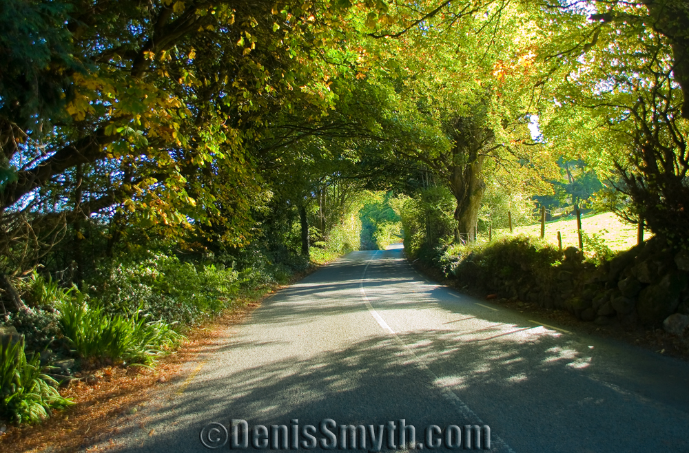
Wicklow
Again this road if its quiet is a pure joy, the views are great and the road for the most part up to the summit is narrow but in good condition.
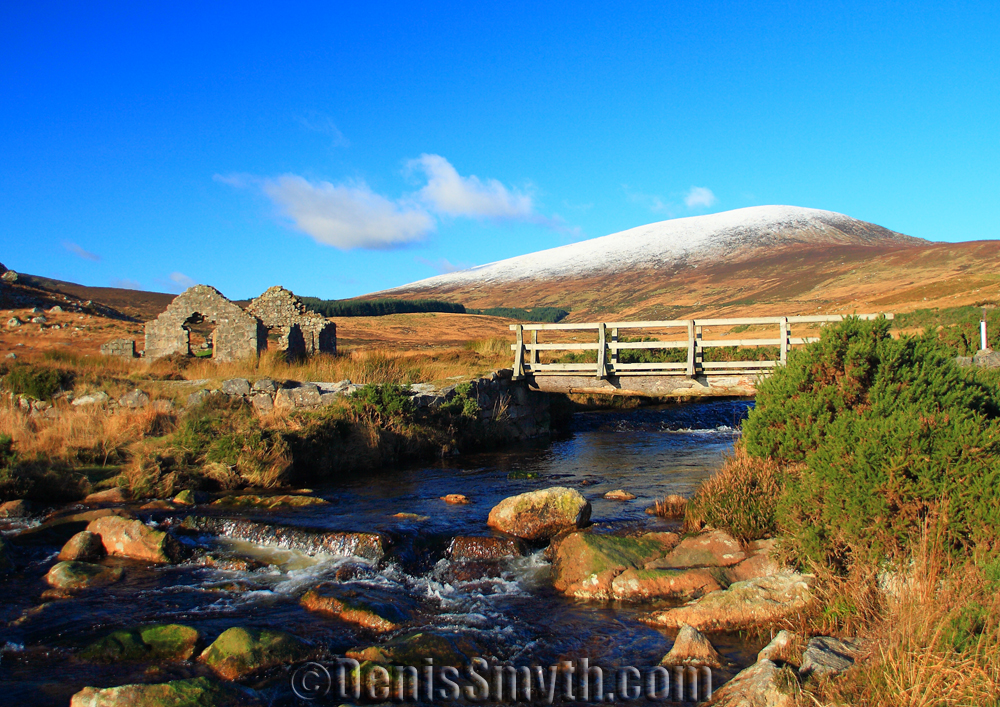
Ruins along the Wiclow Gap
I’ve never seen a speed trap here, but look out for sheep, deer, cyclists, hikers and black ice in winter.
From the summit the road drops with some good twisties down towards Blessington, about 18km from Glendalough take a right onto the R758 then round the lake to Oldcourt and back up over the River Liffey, on to the R759 through Kippure and on to Sally Gap.
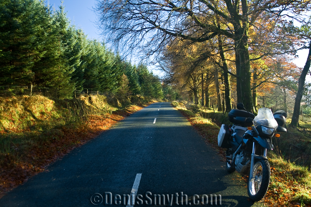
Kippure heading towards Sally Gap
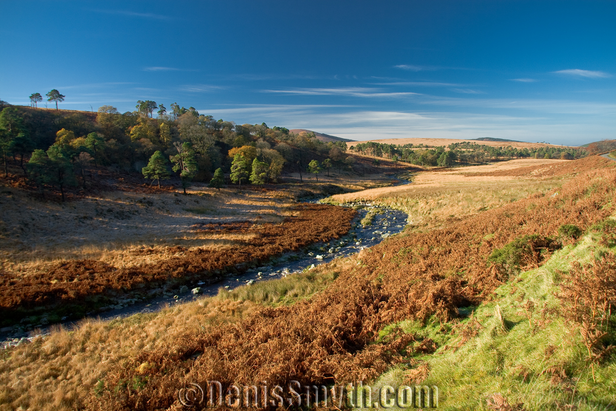
Sally Gap, R.Liffey & Kippure
The road along Sally Gap is generally good, quiet and has really fantastic views. Riding along here you really feel like your out in the middle of nowhere.
In reality your only 20km from the M50 if you’re heading north or south, and 30km to the M7 if you’re heading west.
From the top of Sally Gap take a right back towards Laragh/Glendalough, this part of the road is badly rutted, it’s definitely not built for speed but the views are stunning, passing Glenmacnass waterfall keep left coming into Laragh, turn left towards Roundwood and take an immediate left again into what looks like a small access road but it leads to some classically beautiful scenery.
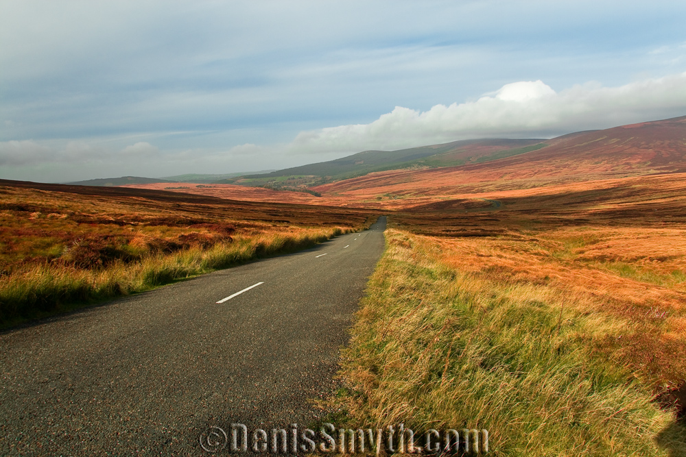
Sally Gap towards Kippure
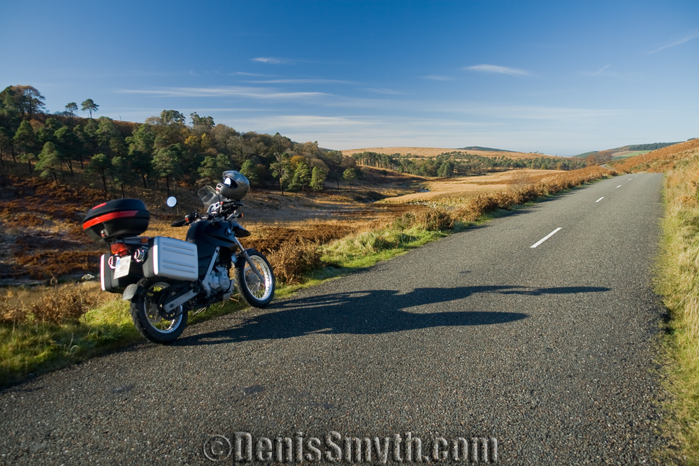
Sally Gap along the River Liffey
Its part of the Wicklow Way, a well-known hiking route through the mountains and leads to the Lough Dan, eventually this route will lead you back into Roundwood, the highest village in Ireland where you’ll find lodging or plenty of places for lunch.
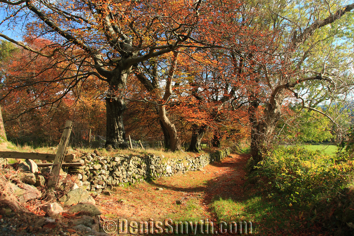
View from Laragh East to Lough Dan & Roundwood
Note however that the nearest petrol stops from here are in Laragh/Glendalough and Kilmacanogue joining the N11. I hope you enjoy these routes as much as I do, the best time to travel these roads is from April to late October, I’ll be uploading more after the Christmas holiday.
Download This Route »
Note: You will be asked to log in or register with RoadTrooper.com to gain access to downloadable .KML (Google Earth), .GDB (Garmin), .GPX (Generic) files.
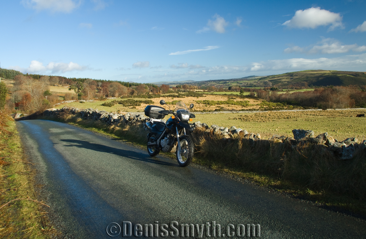
Laragh East
Practical advice: As well with all high mountain roads and passes the weather up here can change very quickly, a warm sunny day can turn to into a complete nightmare at anytime of the year and clouds can roll in from nowhere dropping visibility to just a couple of meters, temperature can also drop as much as 15 degrees C in minutes with low cloud, and in many areas there is no mobile phone signal. Even in summer hail or sudden torrential rain can make you wish you stayed at home, Irish mountains may seem like foothills compared to the Alps but what the Irish mountains lack in height they more than make up for in an uncompromising combination of topography and weather as well as stunning beauty, Irish mountains demand respect.
Dont let me scare you off, it’s well worth the effort to ride these memorable roads, just always have a fleece, jumper rain gear, water, an energy bar and a high visibility jacket in your panniers when spending the day up here. If you get really stuck in an emergency and need an ambulance/helicopter fast the mountain rescue number is 999/112, they are bassed in Laragh, and in a real emergency can get to you faster than an ambulance which will have to travel from Dublin.
Plenty more of my photos of the Dublin/Wicklow mountains and surrounding areas can be found on my Flickr pages;
http://www.flickr.com/photos/denis_smyth/
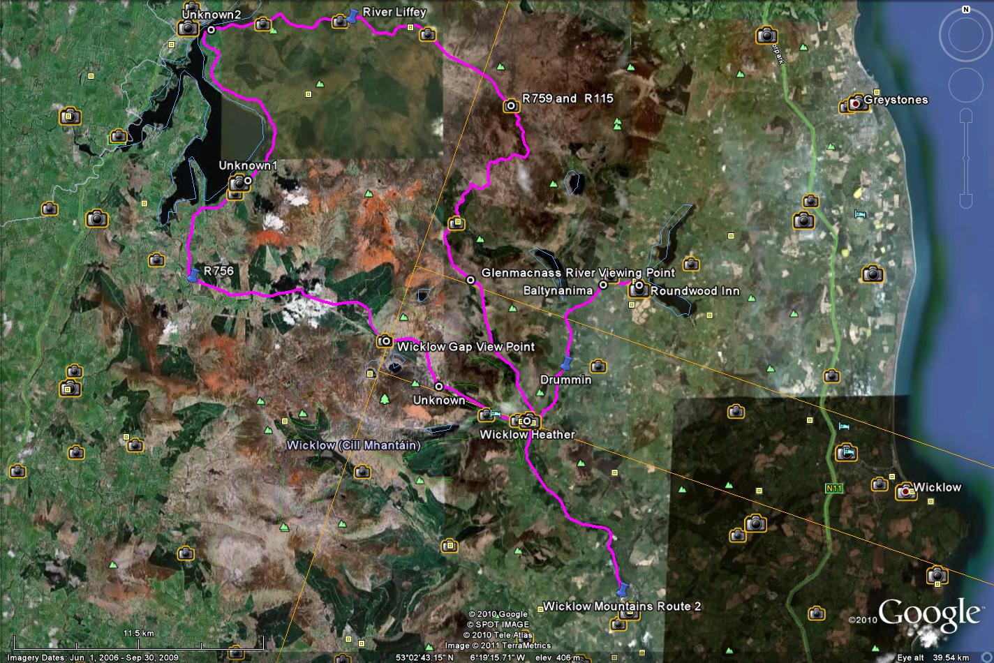
Wicklow Mountains Route 2


Have ridden them roads many times Denis,beautiful scenery and Laragh is a lovely place to stop for a bite to eat.
Pat
Like Bigman says, great riding within striking distance of my home town Celbridge in Kildare. Brilliant site Roadtrooper – will definitely be using some of your maps this summer. Will post my trips later… Cheers, Wally…